2019 Atlantic Hurricane season comes to an end: Here's how it stacked up
2019 Atlantic Hurricane season was an above-normal season with 12 named storms, six hurricanes, and three major hurricanes. NOAA is now asking people to prepare for the season ahead.
More than half a century after a hurricane made landfall in southeast Louisiana, forecasters have revealed the devastating storm was more powerful than they originally thought.
The National Oceanic and Atmospheric Administration's Hurricane Research Laboratory said in a report last month that Hurricane Betsy, which made landfall on Sept. 9, 1965, has been upgraded from a Category 3 to a Category 4 storm on the Saffir-Simpson Hurricane Wind Scale.
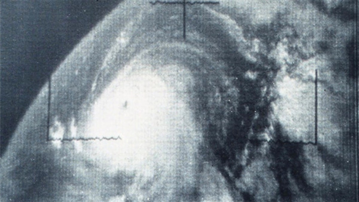
A reassessment of the original observations collected -- mainly by ships, weather station, aircraft reconnaissance planes and the earliest available satellite images -- revealed the storm had maximum sustained winds of 130 mph when it roared ashore.
HERE ARE THE DEADLIEST AND COSTLIEST HURRICANES TO HIT THE US MAINLAND
Category 4 storms have sustained winds between 130 and 156 mph, and bring “catastrophic” damage, according to the National Hurricane Center.

Hurricane Betsy can be seen in the Atlantic on Sept. 4, 1965. (NOAA)
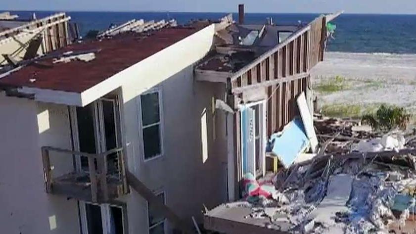
“Well-built framed homes can sustain severe damage with loss of most of the roof structure and/or some exterior walls,” the NHC explains.
In addition to most trees being snapped or uprooted, fallen trees and power poles can "isolate" residential areas, with prolonged power outages that leave areas "uninhabitable for weeks or months."
In the U.S., Betsy was blamed for the deaths of 75 people in Florida and Louisiana. It also became the first billion-dollar hurricane in terms of damage, according to the report.
2019 ATLANTIC HURRICANE SEASON COMES TO AN END: HERE'S HOW IT STACKED UP
As part of the reanalysis of the 1961 to 1965 Atlantic hurricane seasons, researchers discovered nine new tropical storms and hurricanes. Six hurricanes were also identified as impacting the U.S. which was one less than originally thought.
Forecasters routinely adjust data from other past hurricanes as part of ongoing analysis with updated technology. Earlier this year, NOAA upgraded Hurricane Michael to a Category 5 storm after NHC scientists conducted a detailed post-storm analysis.
The new landfall speed for Michael was determined by a review of the available aircraft winds, surface winds, surface pressures, satellite intensity estimates and Doppler radar velocities, NOAA said. That includes data and analyses that weren't available during the storm. The increase in the estimated maximum sustained wind speed from the operational estimate is small and well within the normal range of uncertainty, NOAA said
The 2020 Atlantic Hurricane Season runs from June 1 to Nov. 30, and will include the names Arthur, Bertha, Cristobal, Dolly, Edouard, Fay, Gonzalo, Hanna, Isaias, Josephine, Kyle, Laura, Marco, Nana, Omar, Paulette, Rene, Sally, Teddy, Vicky, and Wilfred.
Before the season begins, the NOAA’s Climate Prediction Center will provide its initial seasonal outlook in May.
CLICK HERE FOR THE FOX NEWS APP
"Now is the time for families and communities to become weather-ready and prepare for the season ahead," the NOAA said.
The Associated Press contributed to this report.


