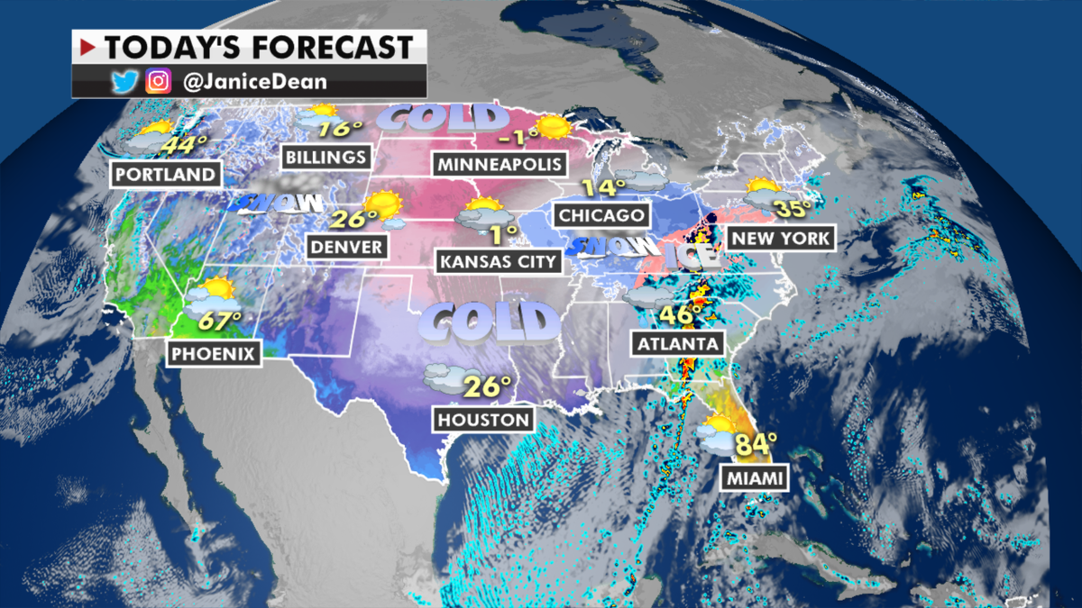
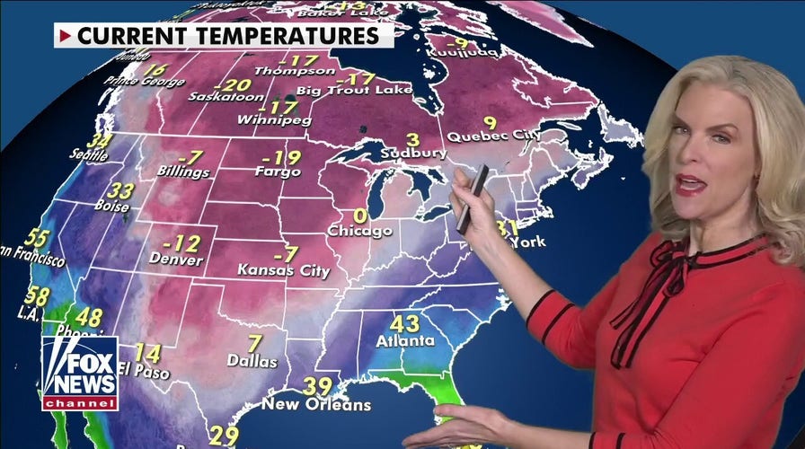
An unprecedented, historic weather pattern has set up across the U.S., bringing some of the coldest air in decades and heavy snow over the Southern Plains and Mississippi Valley.
Six to 12 inches of snow in this first round of wintry weather will spread from the Ohio Valley into New England.

The national forecast for Monday, Feb. 15. (Fox News)
Freezing rain and ice will cause big problems from Texas to the Northeast. Dangerous travel conditions, power outages and tree damage will be extensive in some areas.
More snow and rain will move into the Northwest today with feet of snow for the mountains.

Expected rain and snowfall totals by the end of this week. (Fox News)
This system will then dive down into the Southern Plains later this week bringing another round of wintry, icy weather for millions along a path extending once again from the South to the East Coast.

The track of the winter storms. (Fox News)
CLICK HERE TO GET THE FOX NEWS APP
Life-threatening cold temperatures have settled in across the Plains with wind chill warnings and advisories extending as far south as the Gulf Coast.

Current wind chill conditions around the U.S. (Fox News)
This will most certainly be a week to remember in the weather history books.


