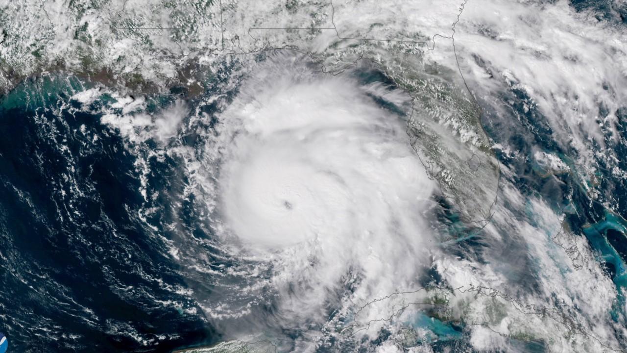
Hurricane Lorenzo now a Category 5
Lorenzo is the northernmost and easternmost recorded Category 5 hurricane on record.
The fifth hurricane of the 2019 Atlantic hurricane season roared into the record books late Saturday when it became the strongest storm ever observed so far north and east in this part of the Atlantic Ocean.
The National Hurricane Center in Miami said as of 11 a.m. Sunday that Lorenzo is back to being a Category 4 storm in the central Atlantic Ocean after spending several hours as a Category 5 storm, which made it "the strongest hurricane on record this far north and east in the Atlantic basin."
The storm is moving north at 10 mph and is centered about 1,315 miles southwest of the Azores, a Portuguese island chain, while packing maximum sustained winds of 145 mph.
"Lorenzo remains a large and powerful hurricane over the Central Atlantic," the NHC said.
HURRICANE LORENZO STRENGTHENS TO 'BEASTLY' CATEGORY 4 STORM
A "major hurricane" is defined as having winds above 111 mph, according to the Saffir-Simpson Hurricane Wind Scale. Category 3, Category 4 and Category 5 storms are all labeled “major” hurricanes.

Hurricane Lorenzo can be seen swirling in the eastern Atlantic on Sunday morning.
There are no coastal watches or warnings currently in effect, although forecasters expect the storm to remain strong as it approaches the Azores over the next few days. Watches could be issued for those islands by Sunday night, forecasters said.
Forecasters said that Lorenzo is expected to move near or just west of the Azores late Tuesday and Wednesday and that although gradual weakening is forecast, the storm is expected to be a large and powerful hurricane as it approaches the island chain.
Hurricane-force winds extend outward up to 80 miles from the center of the storm, while tropical-storm-force winds extend outward up to 275 miles. The storm's wind fields are expected to expand further during the next several days.
"Regardless of Lorenzo's exact track near the Azores, strong winds are becoming increasingly likely on those islands Tuesday night and Wednesday, and residents there should monitor the progress of the hurricane," the NHC said.
Besides the wind, Lorenzo is forecast to bring three to 6 inches of rain over the western Azores and 1 to 2 inches of rain over the central part of the island chain.
"This rainfall could cause life-threatening flash flooding in the western Azores," the NHC said.
LORENZO BECOMES FIFTH HURRICANE OF THE ATLANTIC SEASON, FORECAST TO BECOME MAJOR STORM
Large swells produced by the storm are currently affecting parts of the northeastern coast of South America and the Lesser Antilles and will continue to spread across much of the North Atlantic basin during the next few days.
"These swells will produce life-threatening surf and rip currents," the NHC said.
The storm is forecast to turn northeast by Sunday, and possibly impact Ireland and parts of the United Kingdom by later this week. The Met Office said the storm will eventually transition to an area of low pressure as it heads toward the U.K., but impacts are still "very uncertain."
CLICK HERE FOR THE FOX NEWS APP
The National Oceanic and Atmospheric Administration has said it expects 10-17 named storms this hurricane season, with winds of 39 mph or higher, of which five to nine could strengthen into hurricanes. Of those storms, there will be two to four major hurricanes.
The 2019 Atlantic Hurricane Season runs from June 1 to Nov. 30, and this year includes the names: Andrea, Barry, Chantal, Dorian, Erin, Fernand, Gabrielle, Humberto, Imelda, Jerry, Karen, Lorenzo, Melissa, Nestor, Olga, Pablo, Rebekah, Sebastien, Tanya, Van, and Wendy.


