National forecast for Monday, June 8
Fox News senior meteorologist Janice Dean has your FoxCast.
The summer solstice is just under two weeks away, and yet parts of the northern Rockies resemble a scene out of winter on Monday.
The National Weather Service (NWS) Weather Prediction Center (WPC) said heavy snow has developed across parts of Idaho and Montana.
The NWS office in Missoula said a band of moderate to heavy snow developed along the Interstate 90 corridor from Deer Lodge to Butte, bringing several inches to the region.
CRISTOBAL WEAKENS TO TROPICAL DEPRESSION, BRINGS THREAT OF FLOODING TO MISSISSIPPI VALLEY
Forecasters said an "anomalously cold and vigorous upper trough for early June," is swinging through the western U.S and northern Plains, bringing the threat for severe weather.

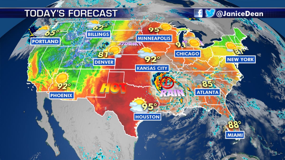
The forecast across the U.S. on June 8, 2020. (Fox News)
In the northern regions, the storm system is bringing accumulating snow.

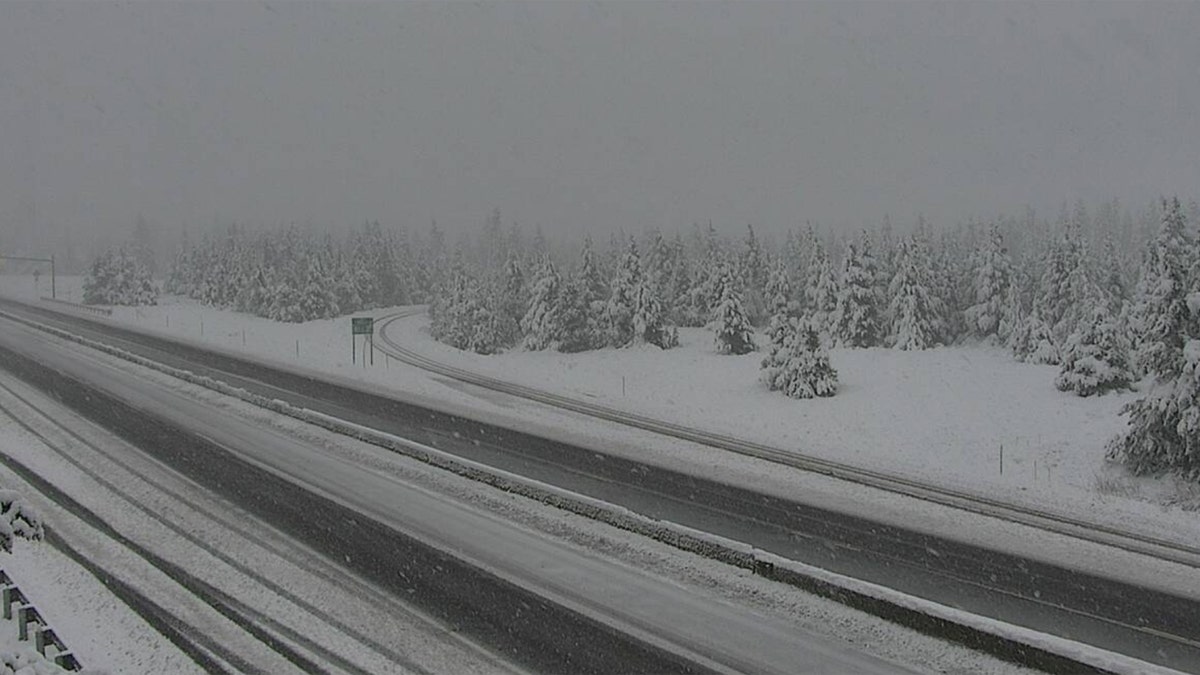
Snow falls in Homestake Pass on Interstate 90 in Montana on June 8, 2020. (Montana DOT)
"Some of the higher elevations of southwest Montana into the Yellowstone National Park could see heavy snow today before the snow tapers off by tonight," the WPC said. "The snow will spread into the higher elevations of the central Rockies as well."
Winter weather advisories have been posted throughout the region, where up to 7 inches of snow could fall. Some residents reported seeing a foot of fresh powder.
The NWS Great Falls forecast office said moderate to heavy snow is expected in locations above 5,000 feet.
Motorists in the area can expect slushy and snow-covered roads, visibilities to less than a half-mile.
"If you are traveling over mountain passes, be prepared for winter driving conditions and reduced visibility," the NWS said.

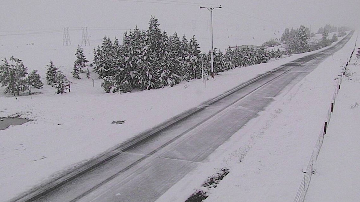
Snow falls along Interstate 15 near Elk Park, Montana on June 8, 2020. (Montana DOT)
Portions of central and southwest Montana reported power outages due to the heavy, wet snow, MontanaRightNow reported.
CRISTOBAL BRINGS FLOODING ALONG GULF COAST, COAST GUARD SEARCHING FOR 2 MISSING BOATERS
Forecasters say snow in the region is highly unusual for June and that people who may be camping are probably not prepared for such conditions. Frozen precipitation typically ends in May across the region.
"In addition to impacts to travel, the heavy, wet nature of the snow could cause vegetation with foliage to break," the NWS Great Falls tweeted.
CLICK HERE FOR MORE WEATHER COVERAGE FROM FOX NEWS
Wind chills as low as the teens are expected on Monday for central, southwest, and west-central Montana.
After the snow stops, cold conditions are expected to stick around through Tuesday morning, spurring frost and freeze warnings for parts of the area.
That same cold front bringing heavy snow over the Northern Rockies is going to fuel severe storms for the Northern and Central Plains, according to Fox News Senior Meteorologist Janice Dean.


