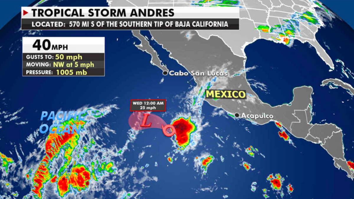
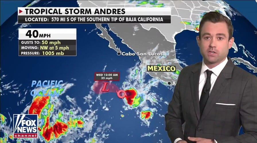
Tropical Storm Andres on Sunday became the earliest storm on record to develop in the eastern Pacific.
The storm took shape hundreds of miles west of Mexico and is weakening as it heads further west out to sea. The National Hurricane Center is predicting an active above-average hurricane season this year in the Pacific -- running from May 15 to Nov. 30 -- and in the Atlantic from June 1 to Nov. 30.

The current location of Tropical Storm Andres. (Fox News)
In the continental U.S., a powerful cold front swept across much of the country over the weekend.
GIANT SEQUOIA TREE FOUND STILL SMOKING FROM 2020 CALIFORNIA WILDFIRE
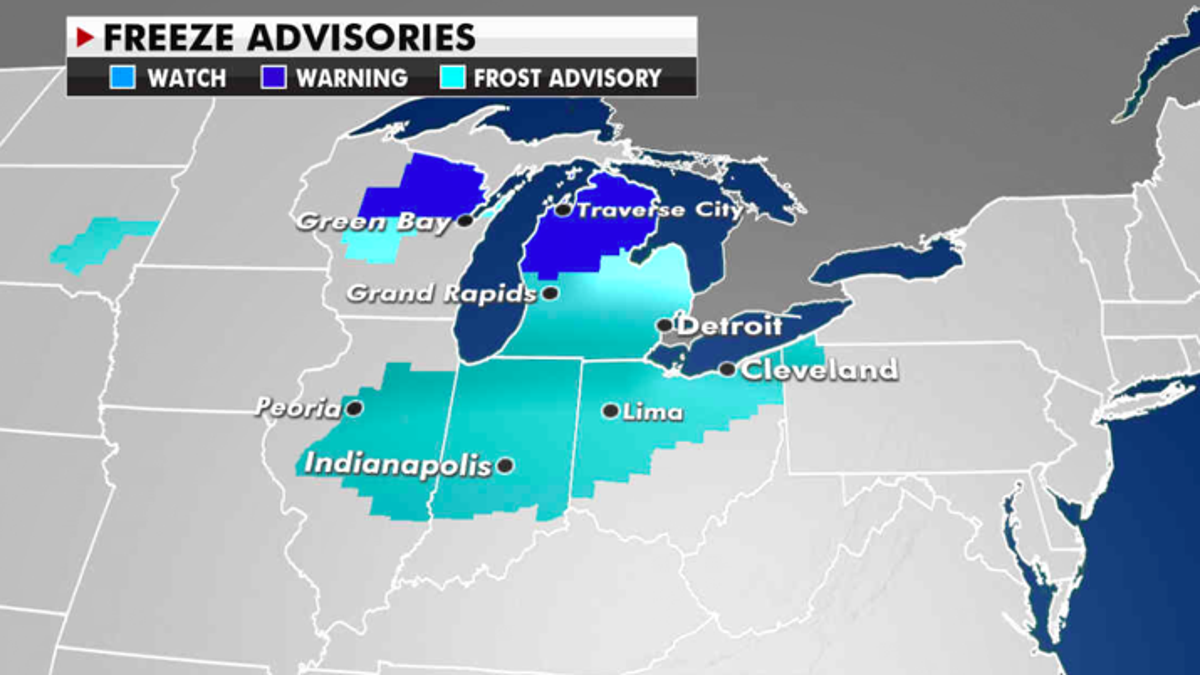
Cold air behind these storms has resulted in frost advisories early Monday across large portions of the Great Lakes region. Daytime highs from the Great Lakes to the Northeast will remain 10 to 20 degrees below average.

Freeze advisories in effect Monday. (Fox News)
Further south, that same frontal boundary will produce more possibly severe thunderstorms.
CLICK HERE TO GET THE FOX NEWS APP
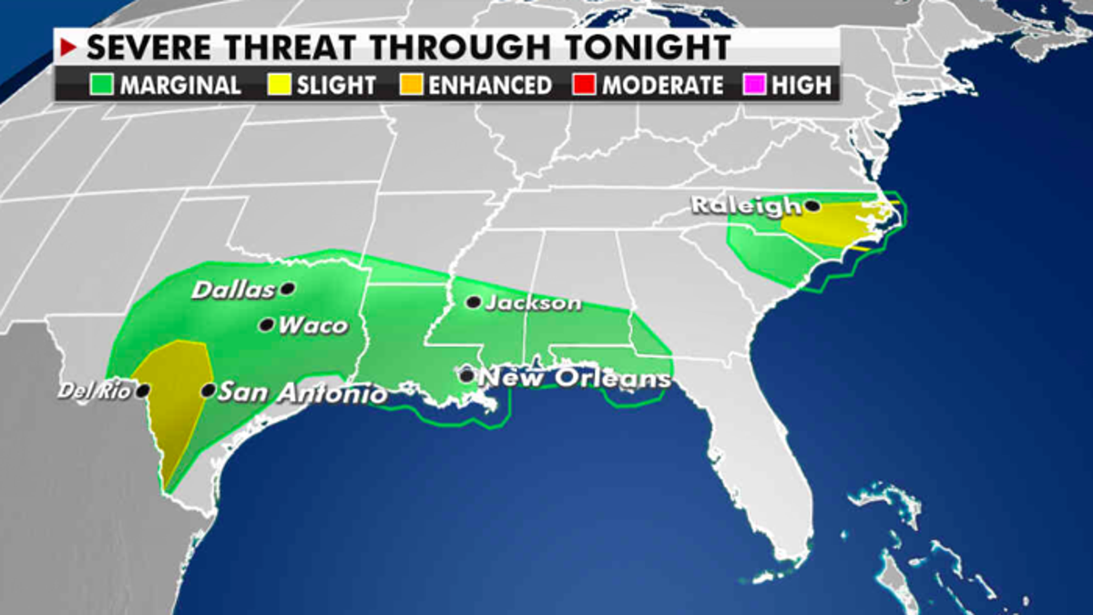
The storm prediction center has highlighted areas with a marginal to slight chance for severe weather from North Carolina stretching back to Texas.

The severe weather threat for Monday. (Fox News)
Thunderstorms in these areas could produce winds up to 60 mph, heavy downpours, frequent lightning and hail.


